Santee River Basin Study
Project Maps and Spatial Data
THIS PROJECT HAS BEEN COMPLETED AND IS BEING ARCHIVED IN ITS FINAL CONFIGURATION
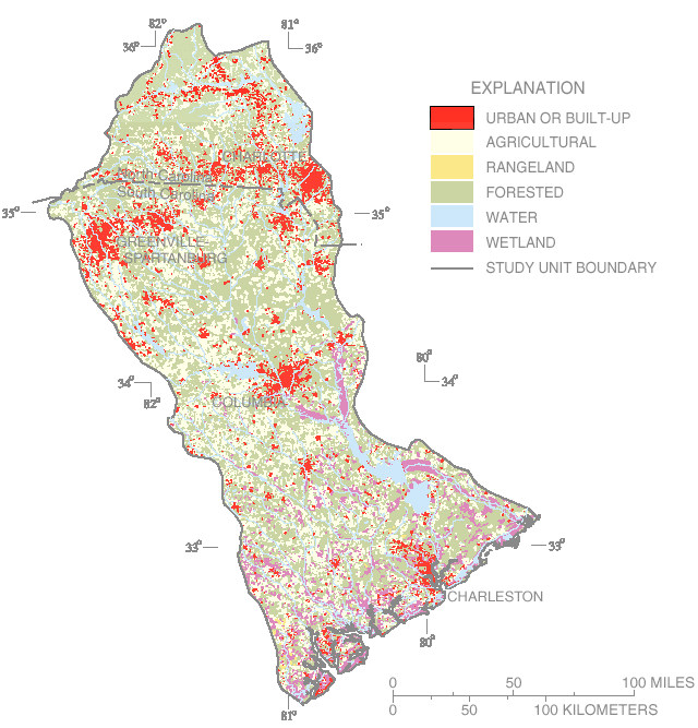
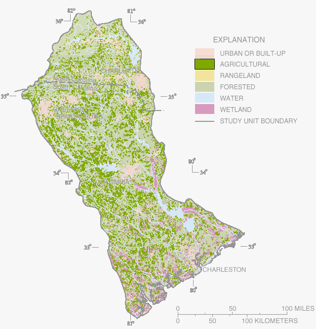
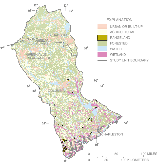
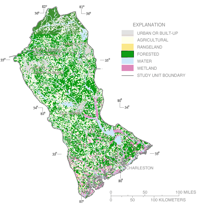
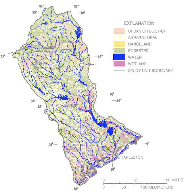
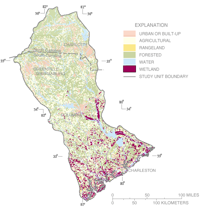
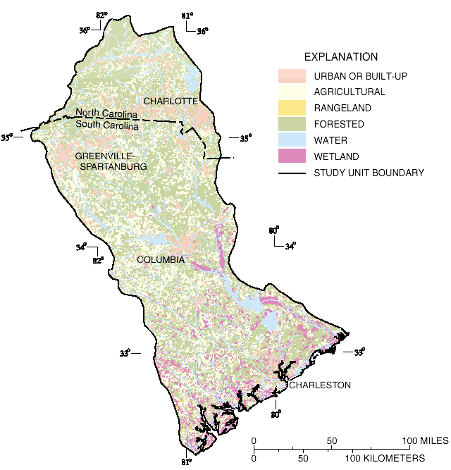
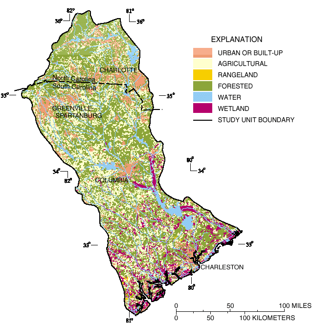
[an error occurred while processing this directive]Landuse Maps
Land use in the Santee Basin includes about 60 percent forested, 30 percent agricultural, and 6 percent urban lands. Place your mouse over the explanation elements to view each type of landuse.