Santee River Basin Study
Project Maps and Spatial Data
THIS PROJECT HAS BEEN COMPLETED AND IS BEING ARCHIVED IN ITS FINAL CONFIGURATION
[an error occurred while processing this directive]Study Unit Map
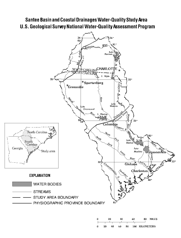
The Santee River Basin and coastal drainages includes about 24,000 square miles in North and South Carolina. The Santee River has the second largest drainage area in the Eastern United States, and its basin makes up 70 percent of the study area. The basins of the Cooper, Edisto, and numerous smaller rivers make up the remainder of the study area.