Bridge Scour
Bridge Scour
Bridge Information View
Construction Information View
Theoretical Abutment Scour View
| Flow Index | Abutment Location | Blocked Flow | Blocked Area | Blocked Length | Avg Blocked Flow Depth | Avg Blocked Flow Velocity | Skew (degrees) | K1 | K2 | Scour depth, Froelich | Abutment type | M(g) |
|---|---|---|---|---|---|---|---|---|---|---|---|---|
| Q100 | right abutment | 1391 | 2195.8 | 488.8 | 4.5 | 0.6 | 0 | 0.55 | 1.00 | 11.5 | spill-through | 0.920 |
Field Information View
| Observation Location | Max scour depth incl infill, referenced from flood plain (ft) |
Infill at bottom of scour hole (ft) | Width of scour hole at low point (ft) | Length of scour hole (ft) | Bottom of scour hole D50, excluding infill (mm) |
Soil Type Scour | Formation | D50 hole |
|---|---|---|---|---|---|---|---|---|
| swampy channel | 7.4 | 0.3 | 71 | 235 | 0.125 | clay | yes | 0.062 |
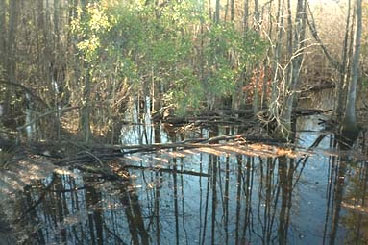
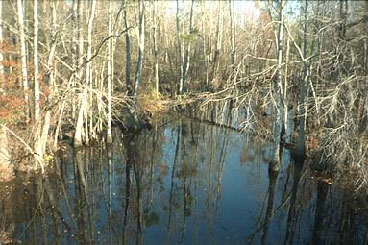
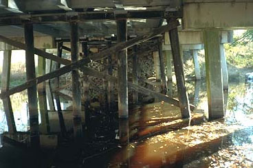
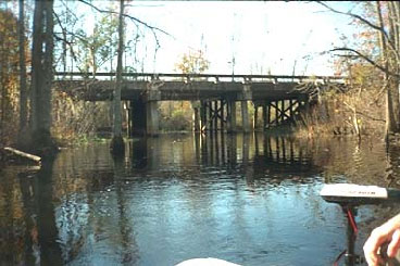
Photos View
Scour Figures View
(click on the link below to view the diagram file,
not all bridges have a diagram)
Bridge Information View
Construction Information View
Pier Scour Data - Q100
Field Measurement of Clear-Water Pier Scour
Predicted Clear-Water Pier Scour for 100-Year Flow
Pier Scour Data - QHIS
Field Measurement of Clear-Water Pier Scour
Predicted Clear-Water Contraction Scour for Historical Flow
Contraction Scour Data - Q100
Field Measurement of Clear-Water Contraction Scour
Predicted Clear-Water Contraction Scour for Historical Flow
Contraction Scour Data - QHIS
Field Measurement of Clear-Water Contraction Scour
Predicted Clear-Water Contraction Scour for Historical Flow
Photos View
Photos View
Bridge Information View
Construction Information View
Pier Scour Data
Field Measurement of Live-Bed Pier Scour
Predicted Live-Bed Pier Scour for Historical Flow
Contraction Scour Data
Field Measurement of Live-Bed Contraction Scour
Predicted Live-Bed Contraction Scour for Historical Flow
Photos View
Citations:
Benedict, S.T., and Caldwell, A.W., 2009, Development and evaluation of live-bed pier- and contraction-scour envelope curves in the Coastal Plain and Piedmont Provinces of South Carolina: U.S. Geological Survey Scientific Investigations Report 2009–5099, 108 p.
Benedict, S.T., 2016, Clear-water abutment and contraction scour in the Coastal Plain and Piedmont Provinces of South Carolina, 1996-99: U.S. Geological Survey Water Resources Investigation Report 2003-4064,https://pubs.er.usgs.gov/publication/wri034064.
Benedict, S.T., and Caldwell, A.W., 2016. Development and evaluation of clear-water pier and contraction scour envelope curves in the Coastal Plain and Piedmont Provinces of South Carolina (ver. 1.1, August 2016): U.S. Geological Survey Scientific Investigations Report 2005–5289, 98 p.
USGS - South Atlantic Water Science Center


