Installation and Data Collection Discussion
Sensor and Camera installation can sometimes cause partial highway closure due to dangerous traffic conditions.
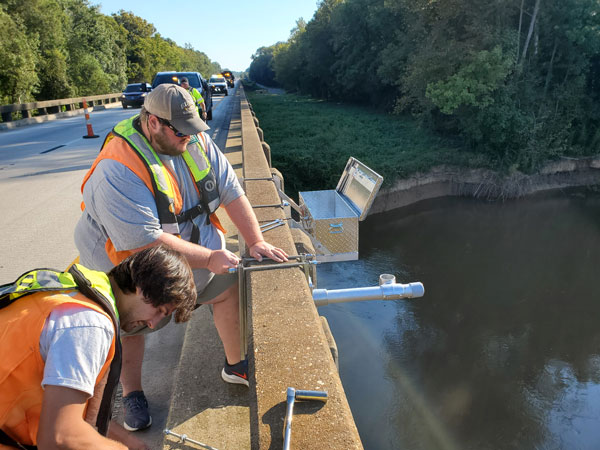
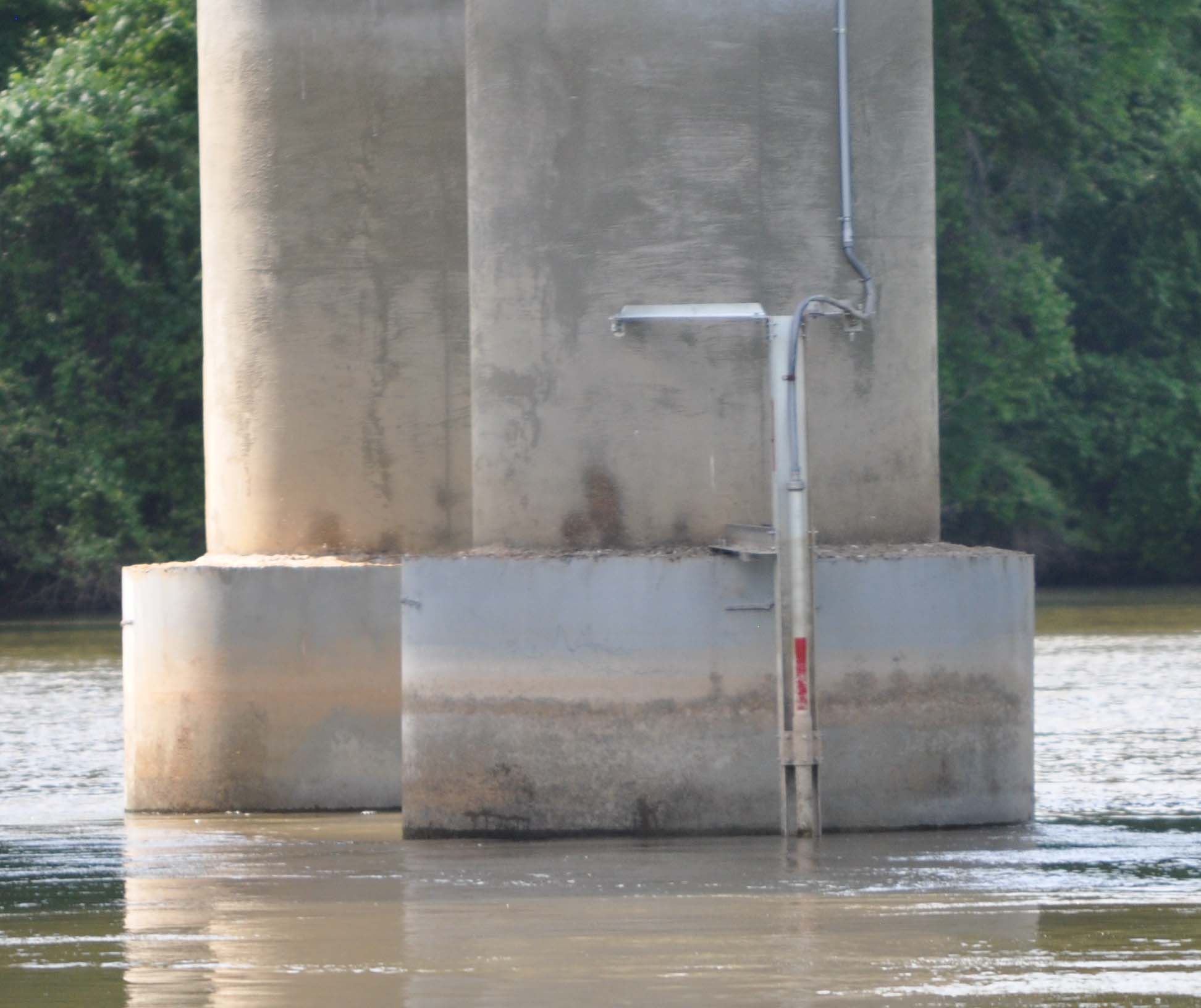
Bridge Scour sensors use soundwaves to measure the depth of the scour holes that occur near the bridge piers. Here is an example of a sensor mounted on a bridge pier.
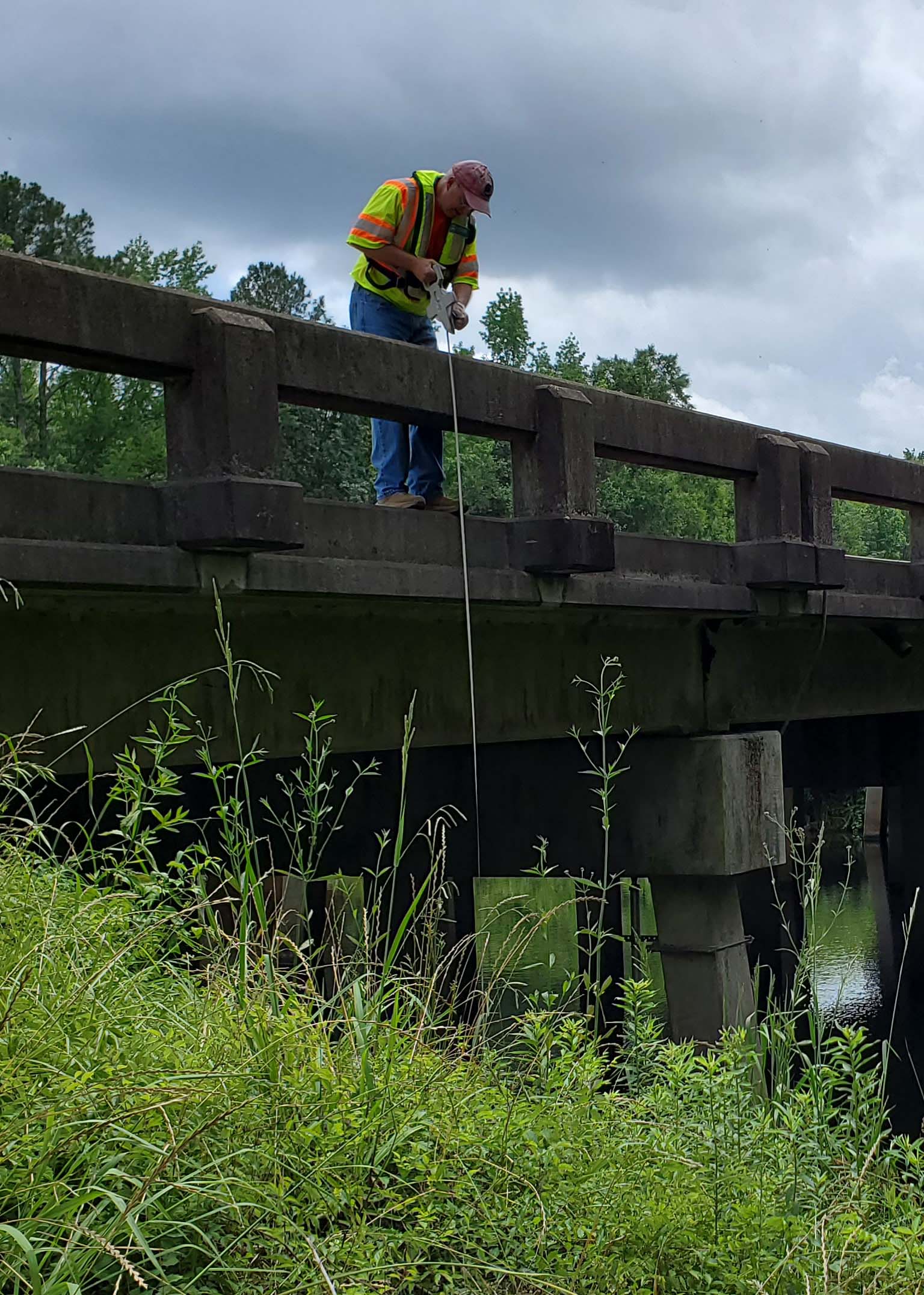
Cross-section survey measurements occur twice a year and consist of a technician measuring the depth of the riverbed at predefined locations along the length of the bridge. Tapedown measurements will also occur at locations where the sensors are installed to verify the sensor readings match the tapedown measurements.
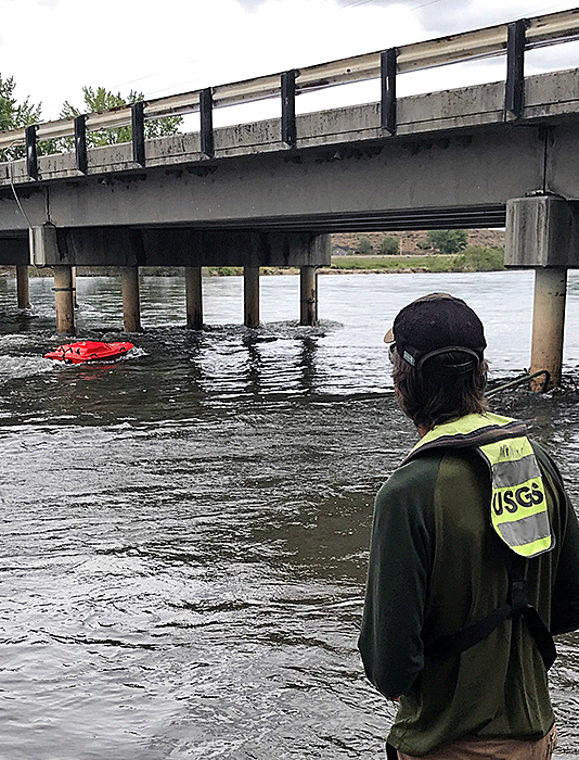
Acoustic Doppler Current Profilers (ADCP) are used on rivers that have very tall bridges or when river depth is a factor. ADCPs use soundwaves to measure the depth of the river bottom.
Maintenance
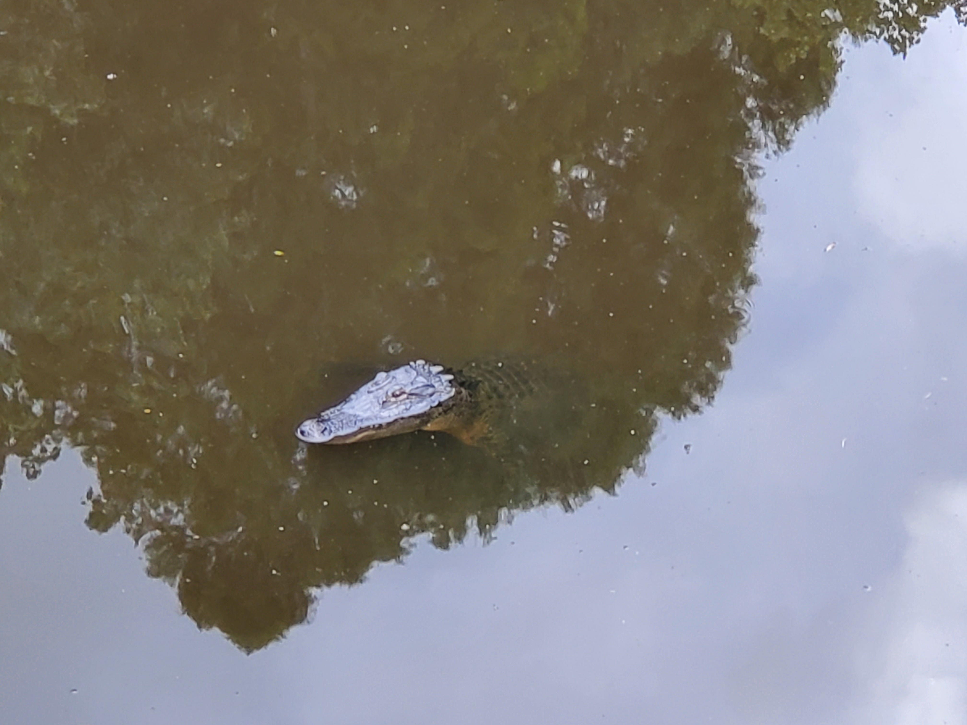
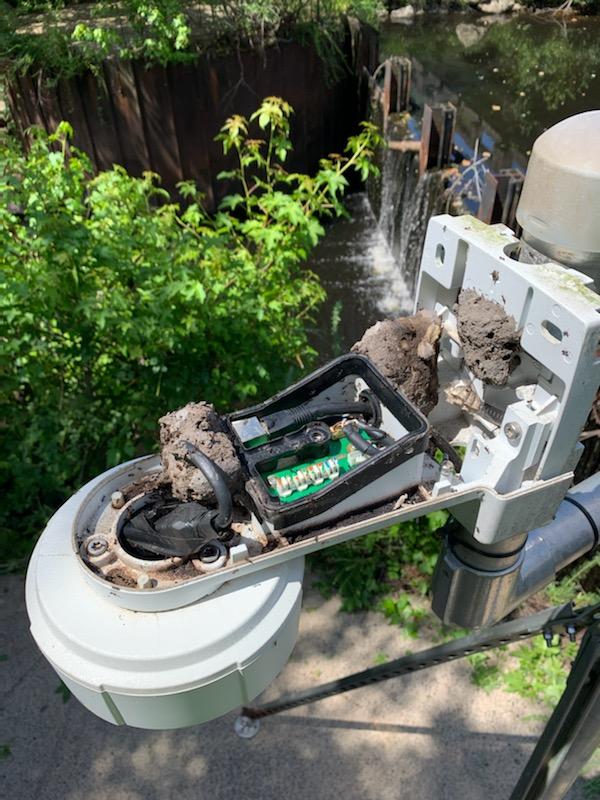
Sensor maintenance can sometimes be difficult due to water conditions, log jams and hostile locals.
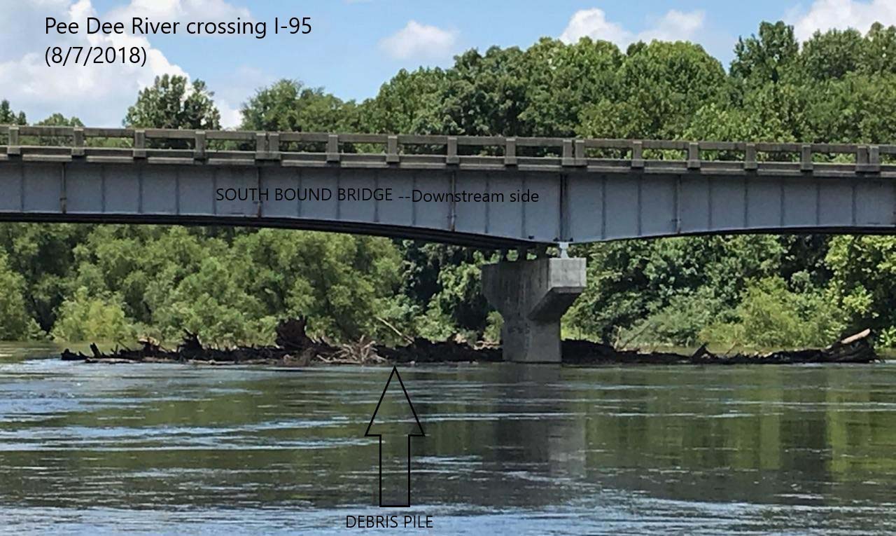
Sensors and cameras can sometimes become inoperable due to flooding or insects.
QA QC of data
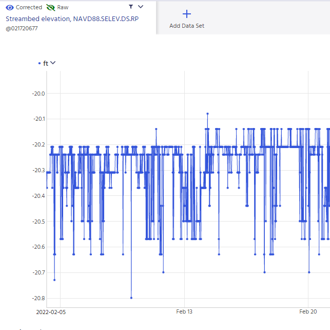
To ensure the sensors are reading the streambed elevation correctly, the sensor readings are compared with manual tapedowns to the streambed from the water surface near the sensor. The water surface elevation near the sensor is determined using a reference point of known elevation that is above the sensor. The manual tapedowns should consist of two tapedowns near the face of the sensor and 4-5 tapedowns at a radius of approximately 10 feet around the sensor to evaluate the unevenness of the streambed below the sensor.
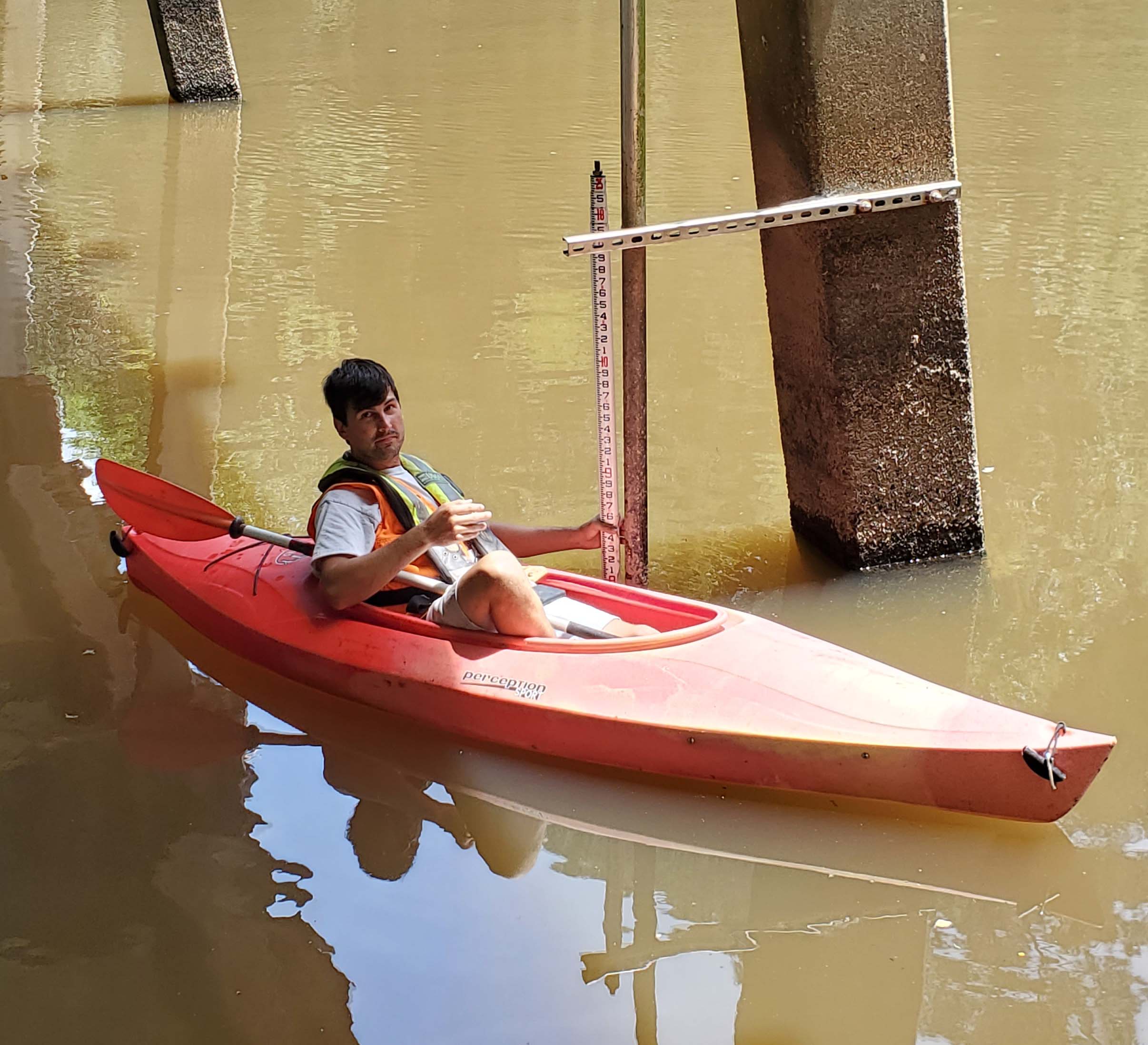
Data is considered "Provisional" until it has been reviewed in the office and marked "Approved". The streambed data are considered valid if the sensor reading is within 0.5 ft of the tapedowns that are made at the face of the sensor or within the range of all the tapedowns elevations made near the sensor.
Bridgescour History
The USGS and SCDOT have studied bridge scour in the coastal plain and piedmont areas of South Carolina for years. Ground-penetrating radar was used in 2009 to collect measurements of live-bed scour and contraction scour. Historic scour was investigated in 2012-2016 and scour envelope curves were developed as a tool to assess scour.
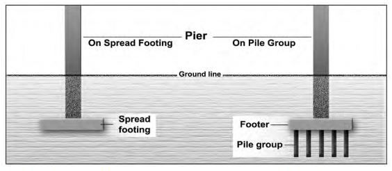
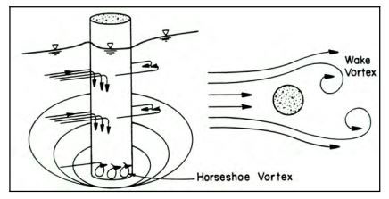
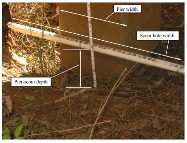
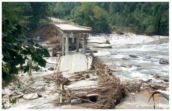
Bridge Scour is the erosion of soil around the bridge abutments and piers, which can cause strutural failure of the bridge. Abutment Scour is the loss of soil around the bridge substructure at edges of the river. Pier Scour is the loss of soil around the bridge piers that descend into the river. Contraction Scour occurs when the flow area of a river is reduced by natural or roadway embankments at the bridge location.
Scour sensors have been installed on major South Carolina interstates and highways to give scientists and engineers real-time feedback of scour conditions. The interactive map below shows the sensor locations and a selectable graph field allows the user to see the current and last 7 days of gage height and scour depth.
Citations:
Development and Evaluation of Live-Bed Pier- and Contraction-Scour Envelope Curves in the Coastal Plain and Piedmont Provinces of South Carolina; 2009; SIR; 2009-5099; Benedict, Stephen T.; Caldwell, Andral W.
Modification of selected South Carolina bridge-scour envelope curves; 2012; SIR; 2012-5029; Benedict, Stephen T.; Caldwell, Andral W.
Benedict, S.T., 2016, Clear-water abutment and contraction scour in the Coastal Plain and Piedmont Provinces of South Carolina, 1996-99: U.S. Geological Survey Water Resources Investigation Report 2003-4064,https://pubs.er.usgs.gov/publication/wri034064.
Benedict, S.T., and Caldwell, A.W., 2016. Development and evaluation of clear-water pier and contraction scour envelope curves in the Coastal Plain and Piedmont Provinces of South Carolina (ver. 1.1, August 2016): U.S. Geological Survey Scientific Investigations Report 2005–5289, 98 p.
Benedict, S.T., Caldwell, A.W., Clark, J., Young, R.S., 2017, Online Database for Clear-water Abutment, Clear-water Pier/Contraction and Live Bed Pier/Contraction Scour.