
Introduction


Scour and depositional responses to hydrologic events have been shown to be a major threat to a bridge’s infrastructure and thus a leading cause of bridge failures within the United States. The South Carolina Department of Transportation (SCDOT) has generated a list of bridge structures (see Bridge Scour Table) within South Carolina that have been deemed to be scour critical sites as defined by the Federal Highway Administration (FHWA). These scour critical sites are required, by the FHWA, to have a plan of action (POA) that should include countermeasures. The FHWA has approved real-time scour monitoring as a countermeasure to help assess the health of bridge structures.
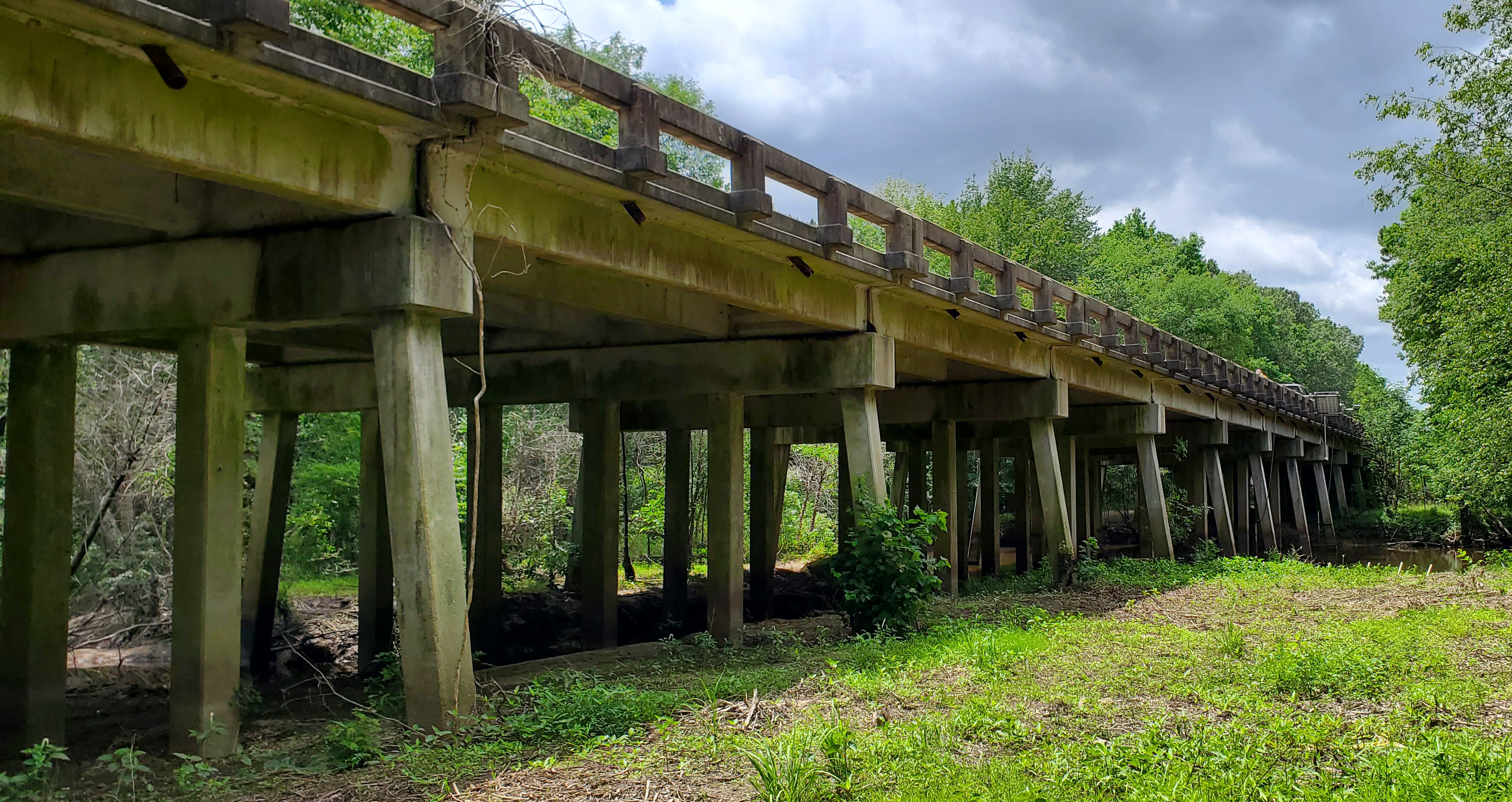
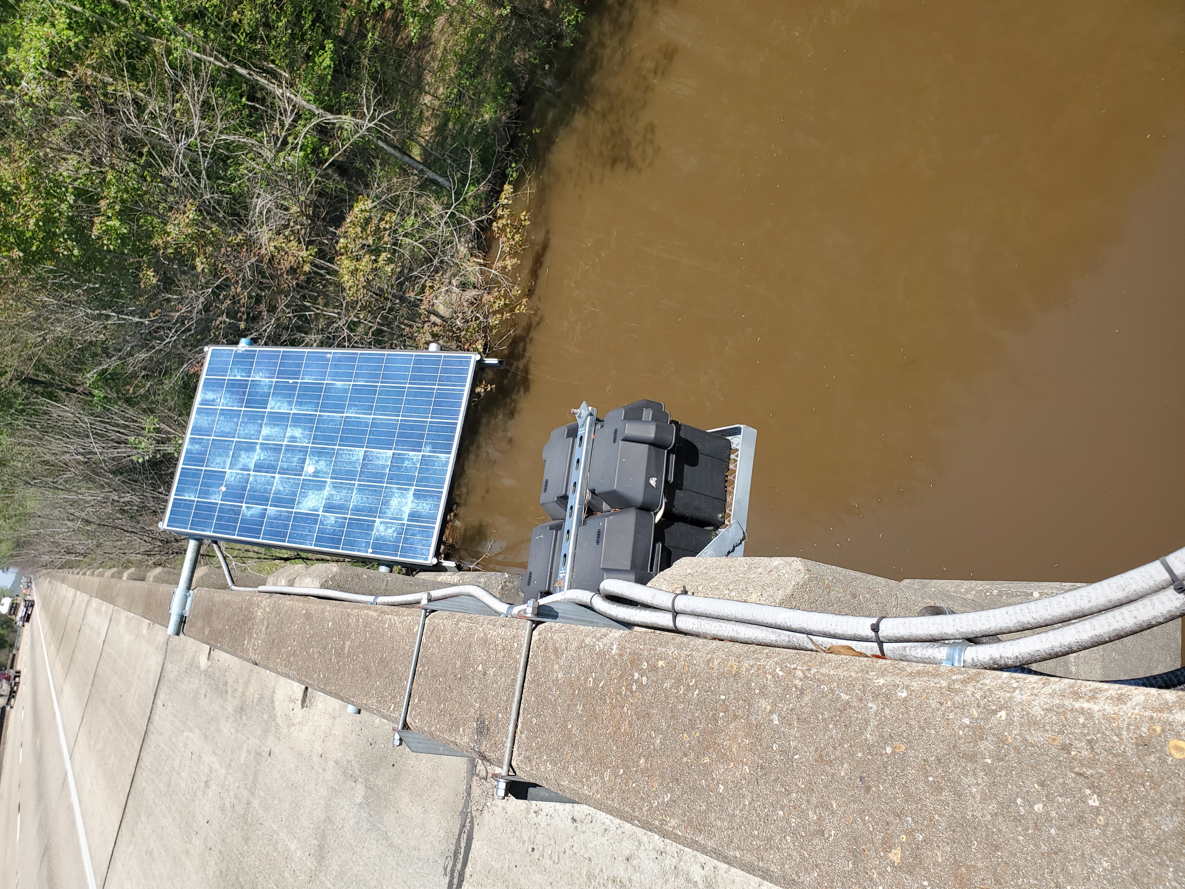
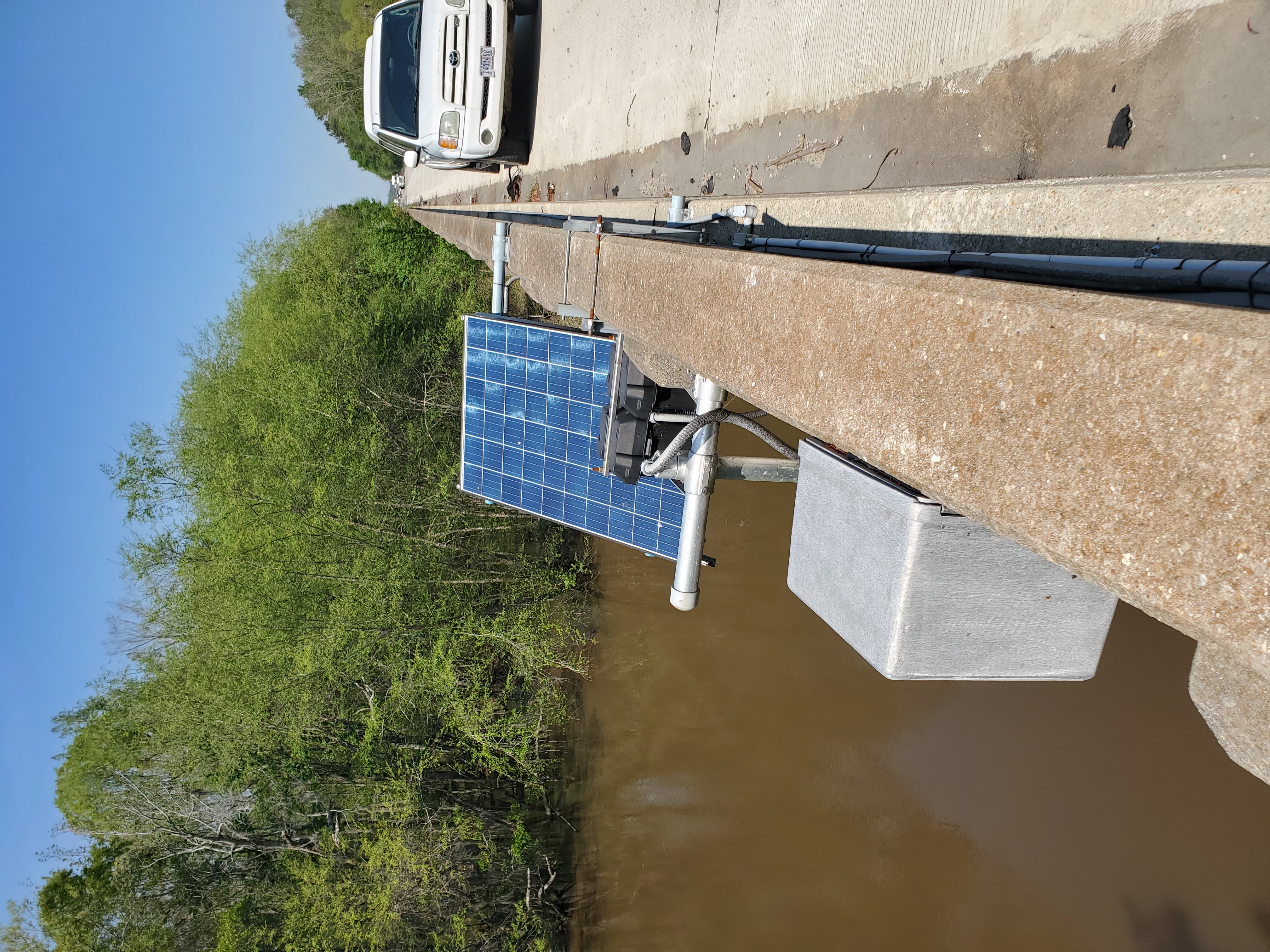
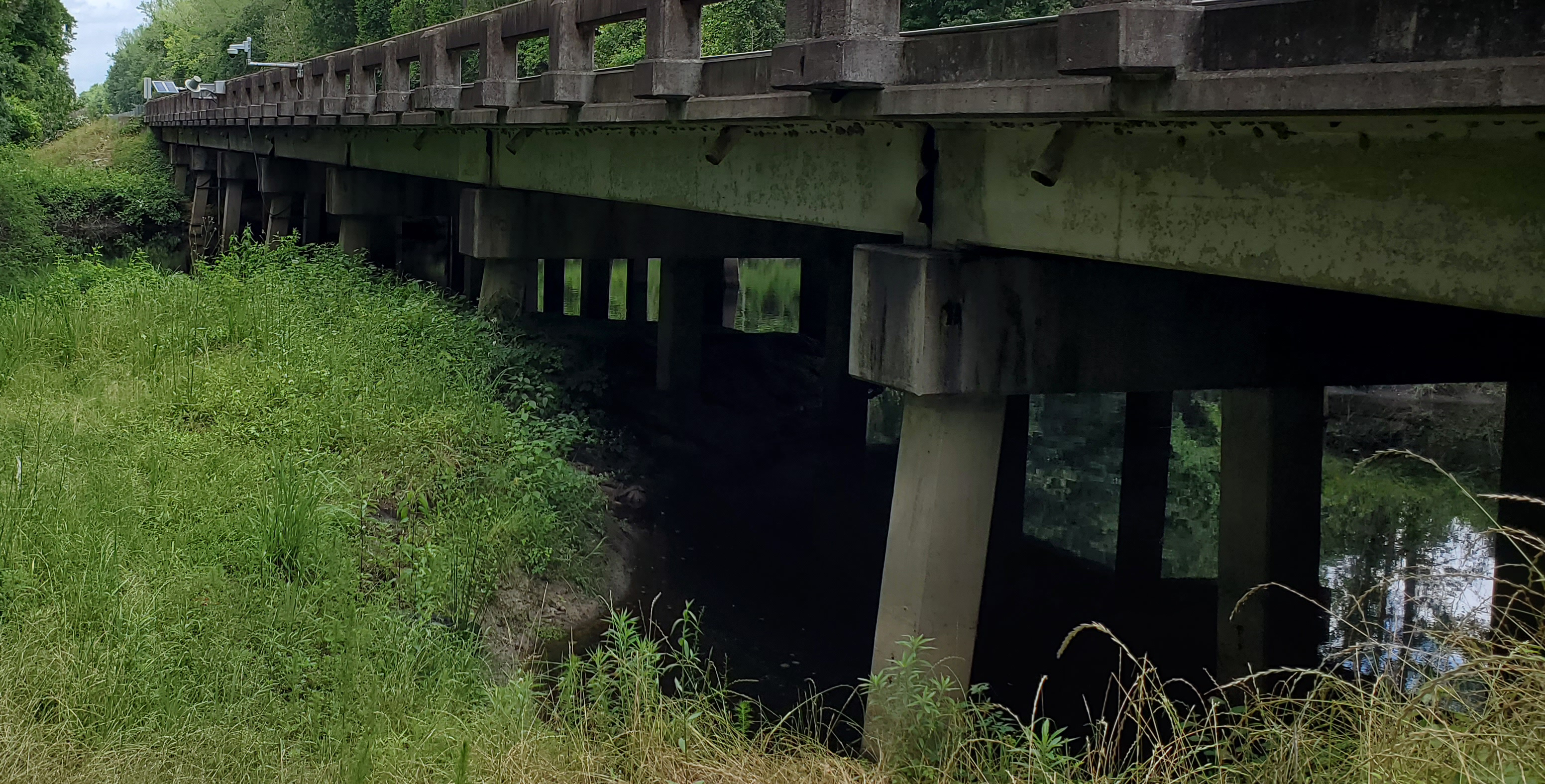
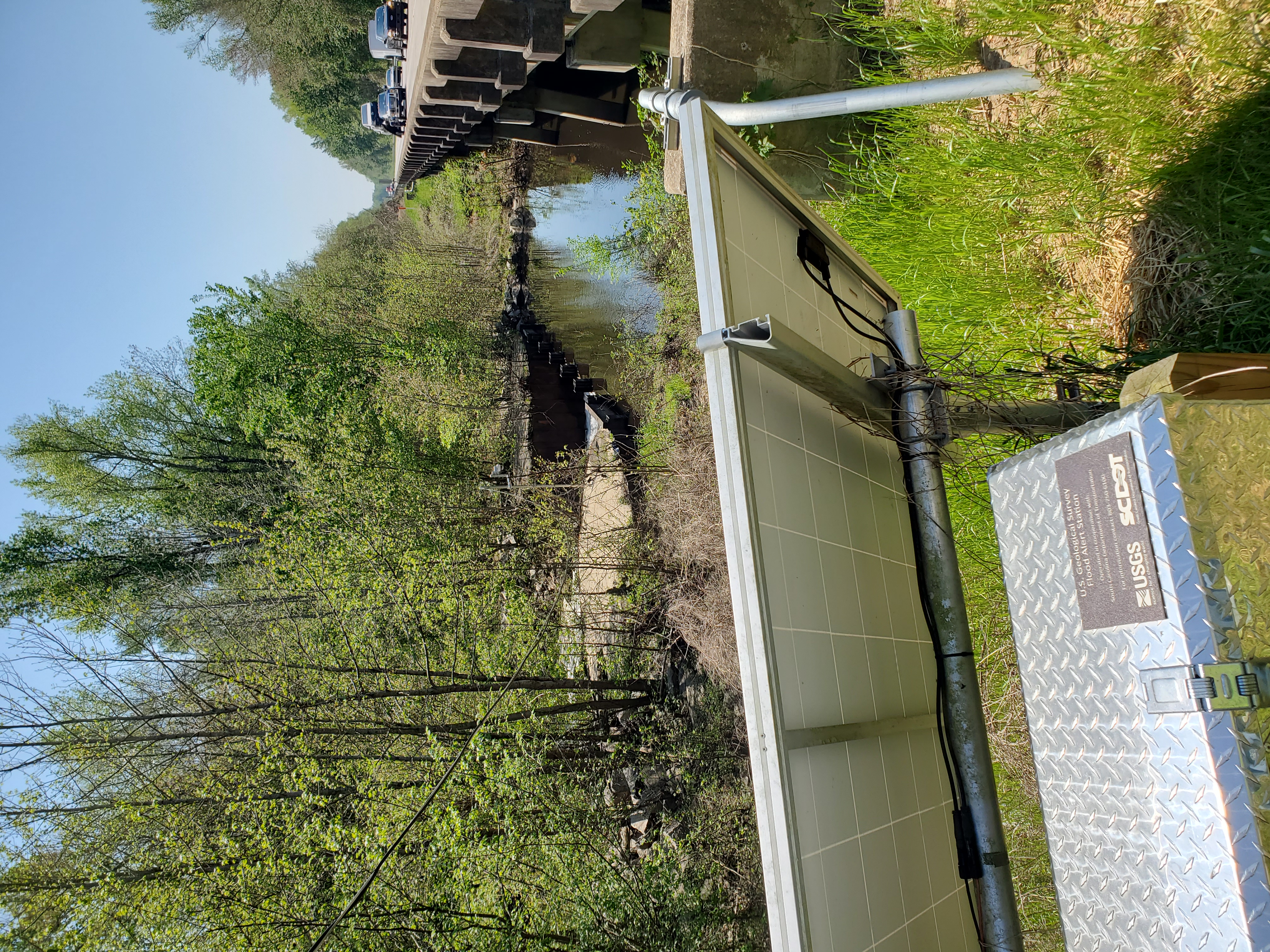
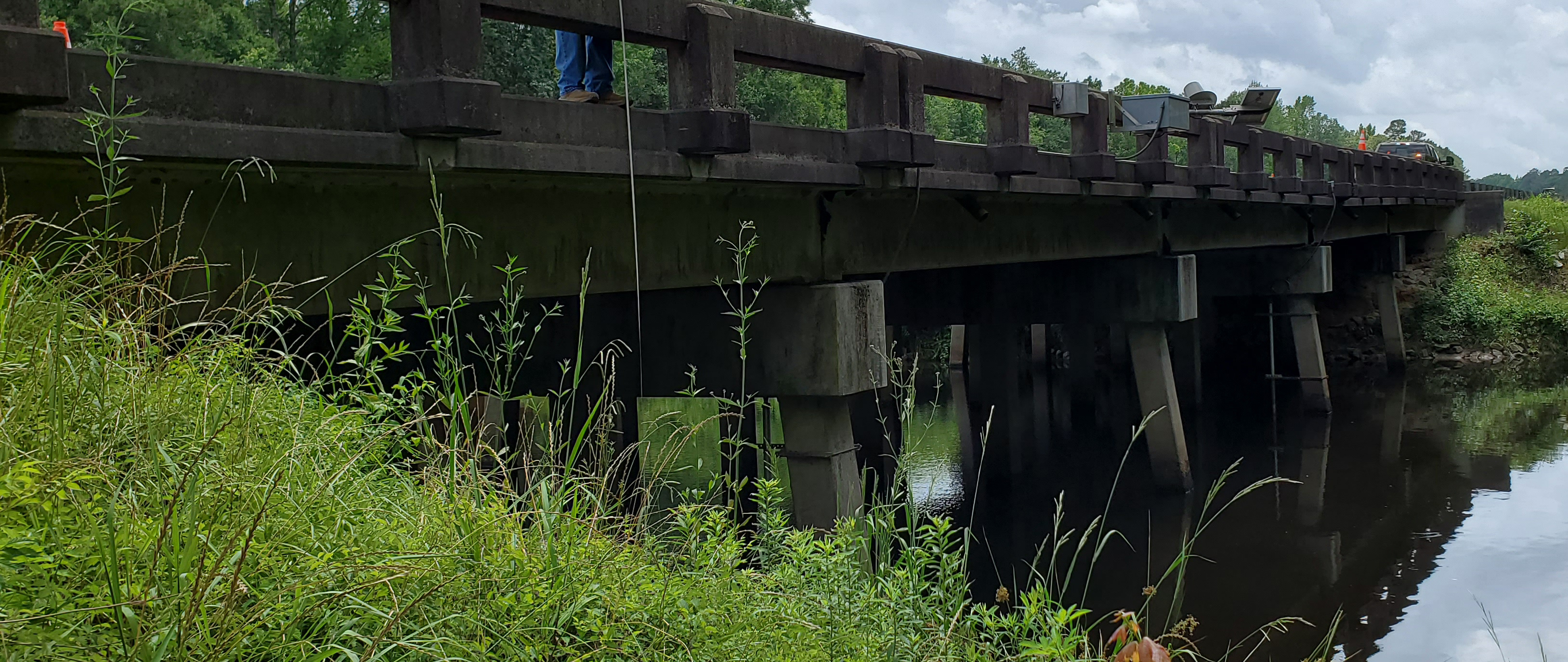
Sonar-based monitoring sensors have been installed on 10 bridges along with real-time stream gages and cameras. The datum of the stage gages is tied to the NAVD88 datum so that river levels can be monitored and referenced to the bridge structure. The scour monitoring sensors are referenced to the same datum as well. Monitoring at the tidally affected sites, such as the Wando River and Cooper River, includes the computation of discharge as well. The cameras can monitor the formation of debris piles and periods of high flow events.
Bridge Scour Table
| Equipment Type | USGS Site Number | Site Name | DOT Bridge Number | |
|---|---|---|---|---|
| Sensor, Camera |
02130810 | PEEDEE RIVER NEAR FLORENCE,SC | 2110009531600 (I-95 SB) 2110009511600 (I-95 NB) |
|
| Camera | 02135000 | LITTLE PEEDEE RIVER NEAR GALIVANTS FERRY,SC | 2620050110100 | |
| Camera | 02110525 | WACCAMAW RIVER AT SC-22 BELOW LONGS, SC | 2640002241200 | |
| Sensor, Camera |
02131510 | LYNCHES RIVER AT I-95, ABOVE OLANTA,SC | 02110009530100 (I-95 SB) 02110009510100 (I-95 NB) |
|
| Camera | 021689801 | SALUDA RIVER ABOVE I-26 NEAR WEST COLUMBIA,SC | 4010012620071 | |
| Camera | 021695002 | CONGAREE RIVER AT US321 NEAR WEST COLUMBIA,SC | 3220002100800 | |
| Camera | 021695075 | CONGAREE RIVER BELOW CAYCE,SC | 3210007730500 (I-77 WB) 3210007710500 (I-77 EB) |
|
| Sensor, Camera |
02135501 | BLACK RIVER AT I-95, NEAR MANNING,SC | 1410095314000 (I-95 SB) 1410009521400 (I-95 NB) |
|
| Sensor, Camera |
021355015 | TEARCOAT BRANCH AT I-95, NEAR MANNING,SC | 1410009531100 (I-95 SB) 141009511100 (I-95 NB) |
|
| Sensor, Camera |
02169750 | CONGAREE RIVER AT U.S. HWY 601 NR. FORT MOTTE, SC | 0920060100300 | |
| Camera | 02135615 | POCOTALIGO RIVER AT I-95, ABOVE MANNING,SC | 1410009510900 (I-95 NB) 1410009530900 (I-95 SB) |
|
| Camera | 02136350 | PEE DEE RIVER AT GEORGETOWN, SC | Winyah Bay Fishing and Observation Pier | |
| Sensor, Camera |
02172002 | LAKE MOULTRIE TAILRACE CANAL AT MONCKS CORNER, SC | 0820001707600 | |
| Sensor, Camera |
021720677 | COOPER RIVER @ FILBIN CREEK @ NORTH CHARLESTON, SC | 0810052602100 | |
| Sensor, Camera |
021720698 | WANDO RIVER ABOVE MT PLEASANT, SC | 1010052642500 |
Select Bridge To Display Graphs, Cameras and Location Information
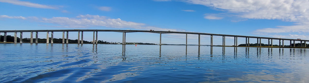
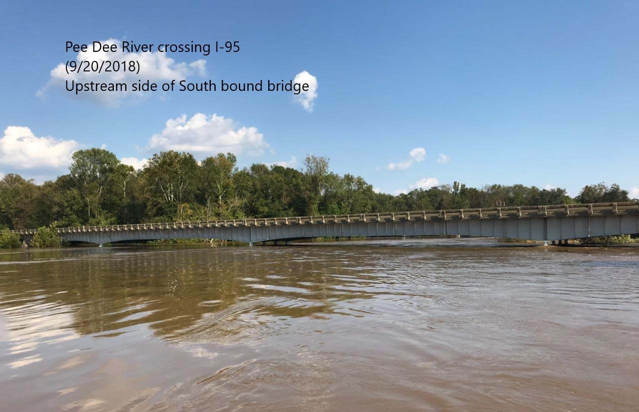
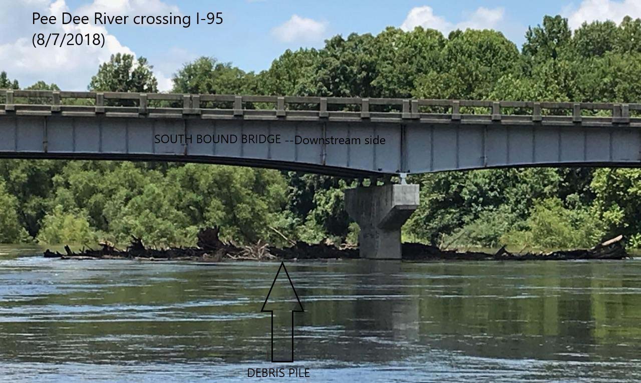
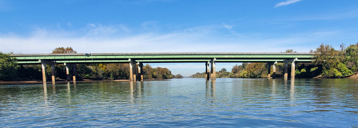
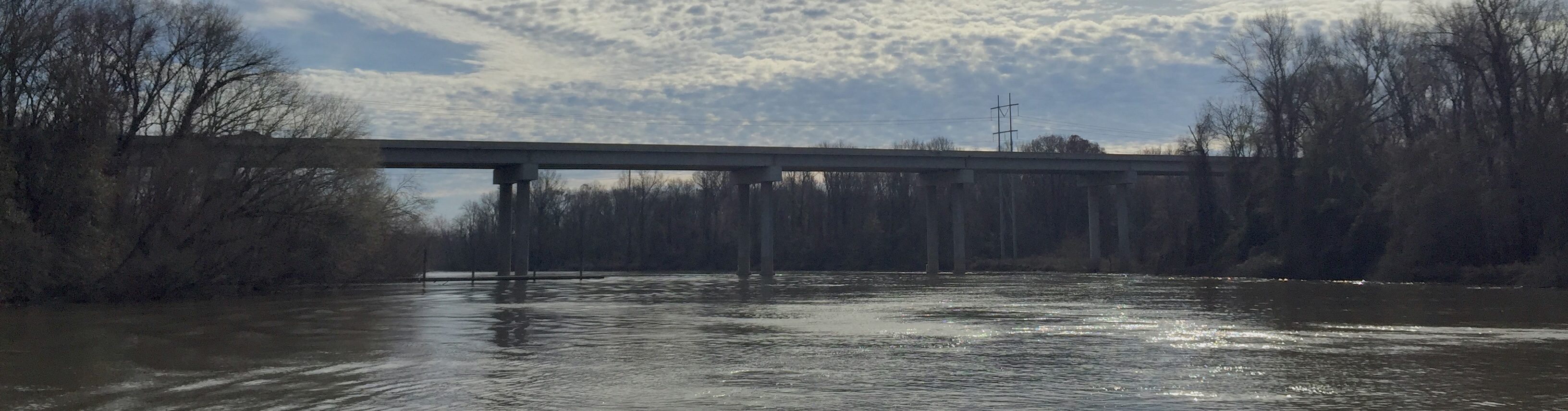
Pee Dee River (02130810)
Interstate 95: Upstream looking downstream at southbound bridge
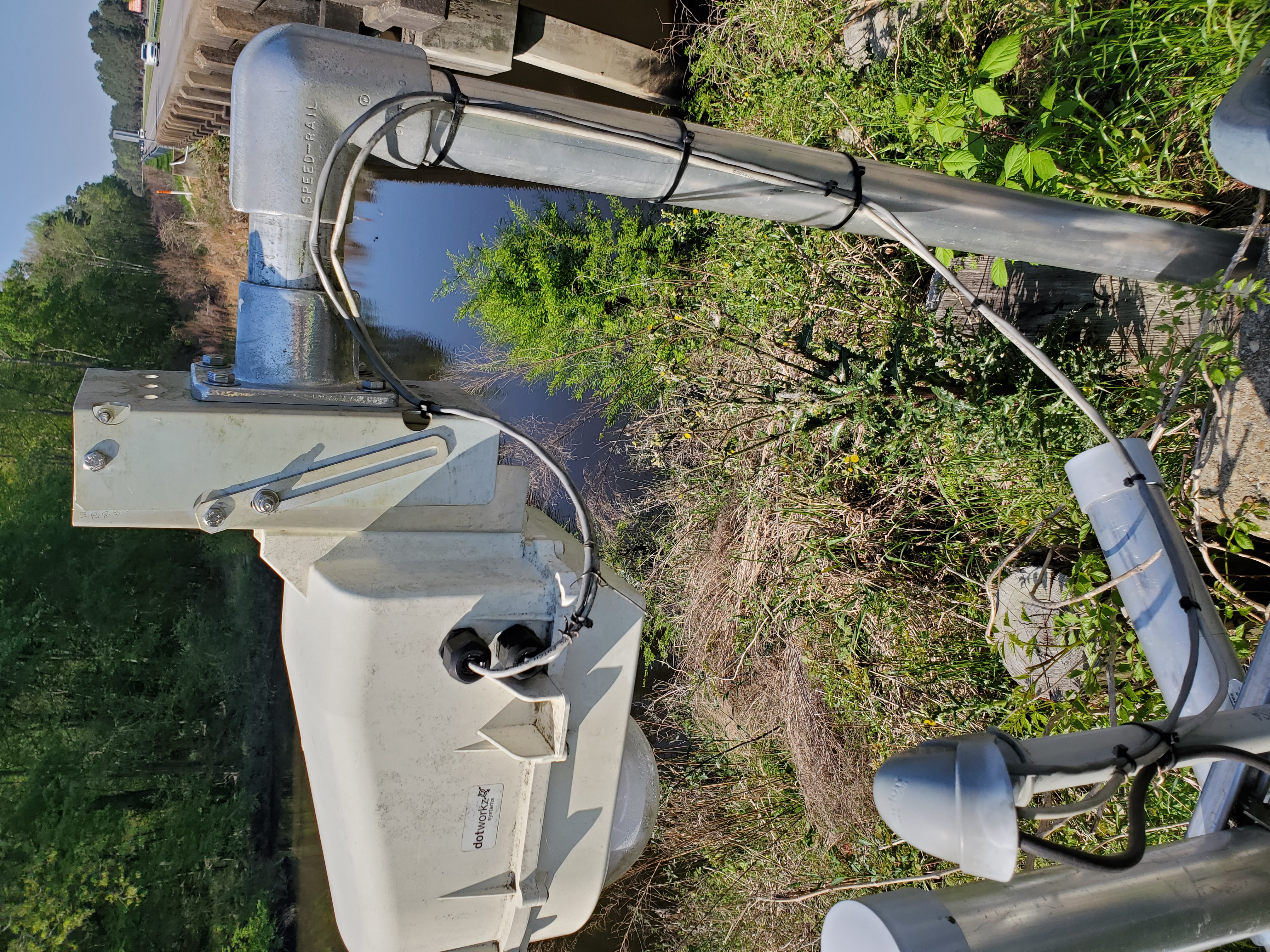
Scour sensor on upstream bridge (southbound), right pier (reference: looking from upstream to downstream)
To change the graph scale, click and drag mouse vertical or horizontal.
To reset the graph scale, double click on the graph.
Camera on upstream bridge (southbound) looking at downstream bridge (northbound)
Our camera is experiencing technical difficulties
Camera on downstream bridge (northbound) looking at downstream bridge (northbound)
Our camera is experiencing technical difficulties
Bridge Profile and River Bottom Cross-Section Survey (CSS)
(reference: looking from upstream to downstream)
(mouse over graph)
Data Format:
Distance Left Shore to Right Shore
Bridge and River Bottom Elevations
(mouse over graph)
Data Format:
Distance Left Shore to Right Shore
Bridge and River Bottom Elevations
Flood 2018
Debris Pile
Little Pee Dee River near Galivants Ferry (02135000)
No sensors at this location
Upstream US 501
Our camera is experiencing technical difficulties
No Cross-Section Survey graphs at this location
Waccamaw River at SC-22 below Longs (02110525)
No sensors at this location
SC 22
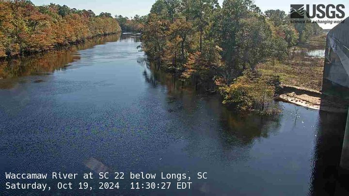
The image is updated every 15 minutes.
No Cross-Section Survey graphs at this location
Lynches River (02131510)
Interstate 95: Upstream looking downstream at I-95 southbound, from left bank
Scour sensor on upstream bridge (southbound), left pier (reference: looking from upstream to downstream)
To change the graph scale, click and drag mouse vertical or horizontal.
To reset the graph scale, double click on the graph.
Scour sensor on upstream bridge (southbound), right pier(reference: looking from upstream to downstream)
To change the graph scale, click and drag mouse vertical or horizontal.
To reset the graph scale, double click on the graph.
Scour sensor on downstream bridge (northbound), left pier (reference: looking from upstream to downstream)
To change the graph scale, click and drag mouse vertical or horizontal.
To reset the graph scale, double click on the graph.
Scour sensor on downstream bridge (northbound), right pier(reference: looking from upstream to downstream)
To change the graph scale, click and drag mouse vertical or horizontal.
To reset the graph scale, double click on the graph.
Camera on upstream bridge (southbound) looking down
Our camera is experiencing technical difficulties
Camera on downstream bridge (northbound) looking upstream
Our camera is experiencing technical difficulties
Bridge Profile and River Bottom Cross-Section Survey (CSS)
(reference: looking from upstream to downstream)
(mouse over graph)
Data Format:
Distance Left Shore to Right Shore
Bridge and River Bottom Elevations
(mouse over graph)
Data Format:
Distance Left Shore to Right Shore
Bridge and River Bottom Elevations
Downstream scour equipment
Upstream scour equipment
Saluda River above I-26 near West Columbia (021689801)
No sensors at this location
Upstream face of upstream bridge
Our camera is experiencing technical difficulties
No Cross-Section Survey graphs at this location
Congaree River at US321 near West Columbia (021695002)
No sensors at this location
Upstream side of bridge
Our camera is experiencing technical difficulties
No Cross-Section Survey graphs at this location
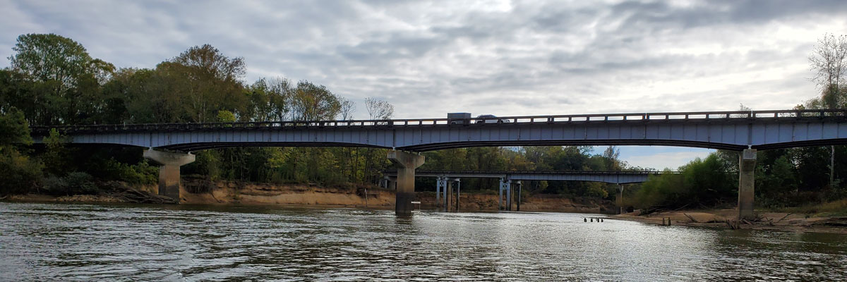
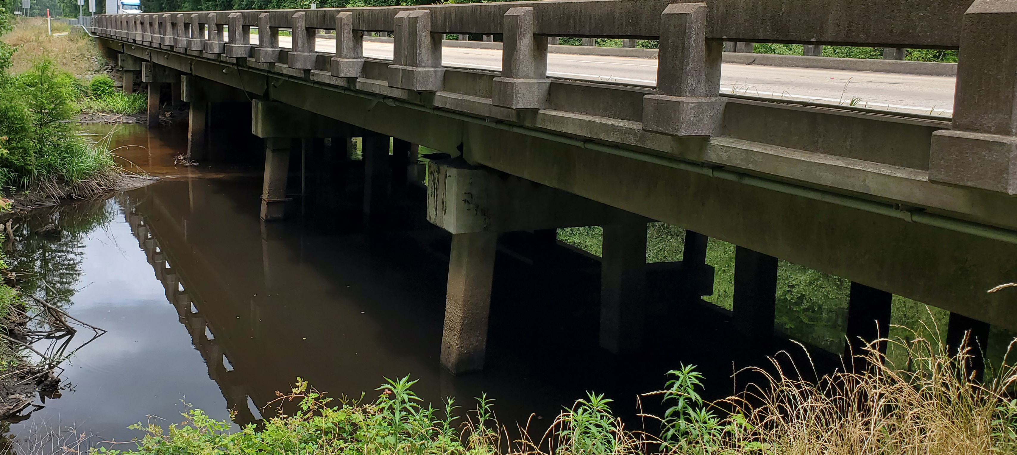
Congaree River below Cayce, SC (021695075)
Interstate 77 Downstream looking upstream at northbound bridge
No sensors at this location
Camera on upstream bridge (southbound) looking down
Our camera is experiencing technical difficulties
Camera on downstream bridge (northbound) looking looking down
Our camera is experiencing technical difficulties
Bridge Profile and River Bottom Cross-Section Survey (CSS)
(reference: looking from upstream to downstream)
(mouse over graph)
Data Format:
Distance Left Shore to Right Shore
Bridge and River Bottom Elevations
(mouse over graph)
Data Format:
Distance Left Shore to Right Shore
Bridge and River Bottom Elevations
Black River (02135501)
Interstate 95: Upstream looking downstream at I-95 southbound, from right bank
Scour sensor on upstream bridge (southbound), left pier(reference: looking from upstream to downstream)
To change the graph scale, click and drag mouse vertical or horizontal.
To reset the graph scale, double click on the graph.
Scour sensor on upstream bridge (southbound), right pier(reference: looking from upstream to downstream)
To change the graph scale, click and drag mouse vertical or horizontal.
To reset the graph scale, double click on the graph.
Upstream face of upstream bridge
Our camera is experiencing technical difficulties
Downstream bridge looking at upstream bridge
Our camera is experiencing technical difficulties
Bridge Profile and River Bottom Cross-Section Survey (CSS)
(reference: looking from upstream to downstream)
(mouse over graph)
Data Format:
Distance Left Shore to Right Shore
Bridge and River Bottom Elevations
Downstream scour equipment
Tearcoat Branch (021355015)
Interstate 95: Upstream looking downstream at I-95 southbound, from left bank
Scour sensor on upstream bridge (southbound), left pier (reference: looking from upstream to downstream)
To change the graph scale, click and drag mouse vertical or horizontal.
To reset the graph scale, double click on the graph.
Scour sensor on upstream bridge (northbound), right pier (reference: looking from upstream to downstream)
To change the graph scale, click and drag mouse vertical or horizontal.
To reset the graph scale, double click on the graph.
Upstream face of upstream bridge (southbound)
Our camera is experiencing technical difficulties
Downstream face of downstream bridge (northbound)
Our camera is experiencing technical difficulties
Bridge Profile and River Bottom Cross-Section Survey (CSS)
(reference: looking from upstream to downstream)
(mouse over graph)
Data Format:
Distance Left Shore to Right Shore
Bridge and River Bottom Elevations
Upstream scour equipment

Downstream scour equipment
Congaree Hwy 601 (02169750)
US Highway 601 Upstream looking downstream
Left Pier (reference: looking from upstream to downstream)
To change the graph scale, click and drag mouse vertical or horizontal.
To reset the graph scale, double click on the graph.
Right Pier (reference: looking from upstream to downstream)
To change the graph scale, click and drag mouse vertical or horizontal.
To reset the graph scale, double click on the graph.
Downstream side
Our camera is experiencing technical difficulties
Bridge Profile and River Bottom Cross-Section Survey (CSS)
(reference: looking from upstream to downstream)
(mouse over graph)
Data Format:
Distance Left Shore to Right Shore
Bridge and River Bottom Elevations
Interstate 95: Upstream looking downstream at I-95 southbound, from right bank
No sensors at this location
Upstream face of upstream bridge (southbound)
Our camera is experiencing technical difficulties
Downstream face of downstream bridge (northbound)
Our camera is experiencing technical difficulties
Bridge Profile and River Bottom Cross-Section Survey (CSS)
(reference: looking from upstream to downstream)
(mouse over graph)
Data Format:
Distance Left Shore to Right Shore
Bridge and River Bottom Elevations
(mouse over graph)
Data Format:
Distance Left Shore to Right Shore
Bridge and River Bottom Elevations
Pee Dee River at Georgetown (02136350)
No sensors at this location
Upstream looking downstream at US 17
Our camera is experiencing technical difficulties
No Cross-Section Survey graphs at this location
Lake Moultrie (02172002)
US Highway 52
Upstream face, left pier
(reference: looking from upstream to downstream)
To change the graph scale, click and drag mouse vertical or horizontal.
To reset the graph scale, double click on the graph.
Upstream face, right pier
(reference: looking from upstream to downstream)
To change the graph scale, click and drag mouse vertical or horizontal.
To reset the graph scale, double click on the graph.
Downstream View
Our camera is experiencing technical difficulties
Bridge Profile and River Bottom Cross-Section Survey (CSS)
(reference: looking from upstream to downstream)
(mouse over graph)
Data Format:
Distance Left Shore to Right Shore
Bridge and River Bottom Elevations
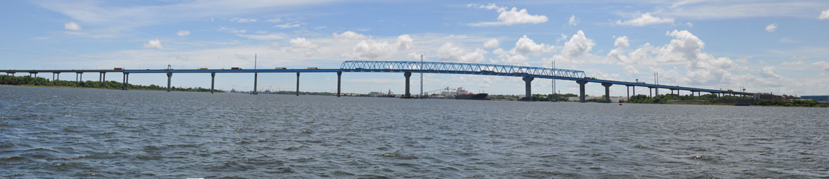
Cooper River, North Charleston (021720677)
Interstate 526: Downstream looking upstream
Downstream Left Pier (reference: looking from upstream to downstream)
To change the graph scale, click and drag mouse vertical or horizontal.
To reset the graph scale, double click on the graph.
Downstream Right Pier (reference: looking from upstream to downstream)
To change the graph scale, click and drag mouse vertical or horizontal.
To reset the graph scale, double click on the graph.
Upstream face
Our camera is experiencing technical difficulties
Bridge Profile and River Bottom Cross-Section Survey (CSS)
(reference: looking from upstream to downstream)
(mouse over graph)
Data Format:
Distance Left Shore to Right Shore
Bridge and River Bottom Elevations
Wando River, North Charleston (021720698)
Interstate 526: Downstream looking upstream
Downstream Left Pier (reference: looking from upstream to downstream)
To change the graph scale, click and drag mouse vertical or horizontal.
To reset the graph scale, double click on the graph.
Downstream Right Pier (reference: looking from upstream to downstream)
To change the graph scale, click and drag mouse vertical or horizontal.
To reset the graph scale, double click on the graph.
Downstream on left, upstream on right
Our camera is experiencing technical difficulties
Bridge Profile and River Bottom Cross-Section Survey (CSS)
(reference: looking from upstream to downstream)
(mouse over graph)
Data Format:
Distance Left Shore to Right Shore
Bridge and River Bottom Elevations